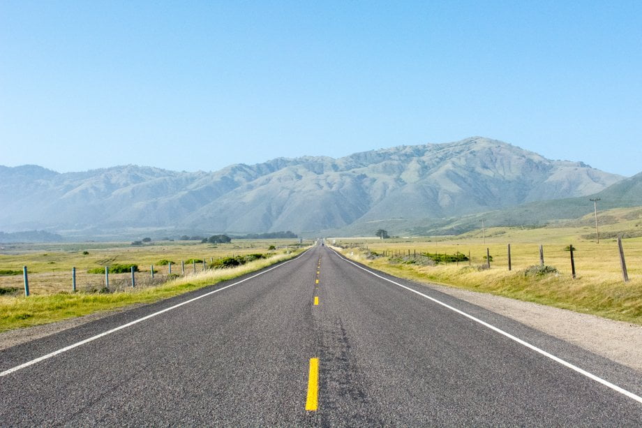

Been working on these for a while now in between other projects. Had the idea instantly when I saw you could print elevation routes from GPS data. Printed out a few of the mountain bike trails I used to ride with two individuals and mounted them in a shadowbox with some details about them.
Had a great time planning it out and putting them together. Hopefully they like them.

|